A 2016 Notable Social Studies Trade Book for Young People (National Council for the Social Studies-Children's Book Council)
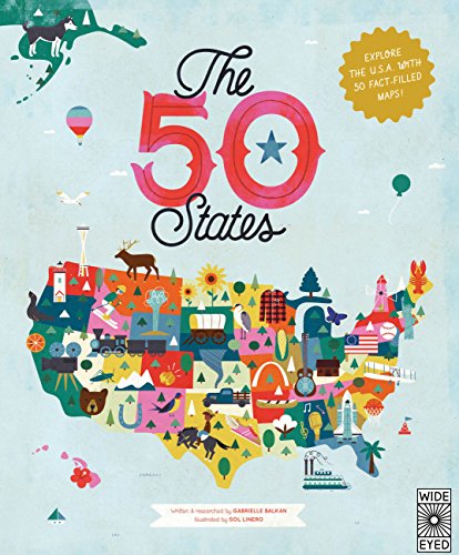
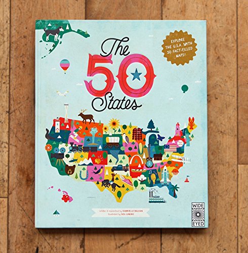
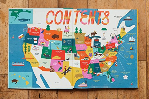
In 51 charmingly illustrated infographic maps, explore every state of the USA from Alabama to Wyoming and the nation’s capital to discover more than 2,000 facts that celebrate the people, cities, nature, and historic events that have helped make America what it is today. You'll also get an expansive guide to the state flags and US presidents.
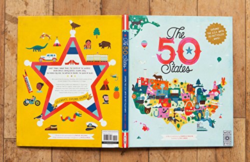
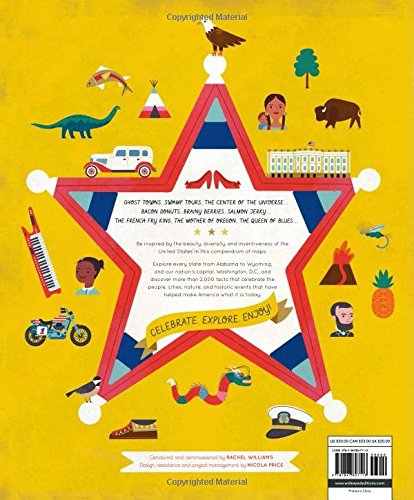
Ghost towns, swamp tours, the center of the universe…bacon donuts, brainy berries, salmon jerky…The French Fry King, The Mother of Oregon, The Queen of Blues…be inspired by the inventiveness, beauty, and diversity of the United States in this curious collection of fact-filled maps.
On each wonderful map, find:
A welcome box with a short introduction to the state
Key facts, including the capital; state bird, flower, and tree; and statehood order
State icons celebrating the state’s people, places, and history
Six inspiring people who have a connection to the state
Region spotlight bubbles to allow you to discover more about one particular place
A moments to remember box with a list of significant dates and their events in the state’s history
Each state’s map also contains information about which states it neighbors, its bodies of water and borders, as well as where it is situated in the country. Did you know that while Hawaii shares its border with no one, both Missouri and Tennessee border eight other states? Many state parks, battlefields, national forests, and reservations are also included to inspire you to respect and explore the great outdoors.
So pack your bags and say later ‘gator…the great States await!
Features & details
WIDE EYED
EAN: 9781847807113
ISBN: 9781847807113
Manufacturer: Wide Eyed Editions
Brand: WIDE EYED
We hope you love the products we recommend! All of products are independently selected by deal-dx editors. Just to let you know, deal-dx may collect a share of sales or other compensation from the links on this page if you decide to shop from them. As an Amazon Associate we earn from qualifying purchases. Prices are accurate and items in stock as of time of publication.
This website uses cookies for the correct display and functionality. Do you also want to take full advantage of the website and accept cookies? About cookies. Accept cookies